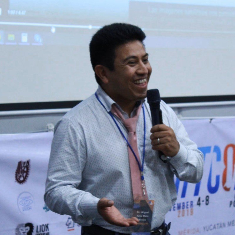
Dr. Miguel Félix Mata Rivera
Artificial Intelligence · Spatial Intelligence · GIScience · Cloud Computing · IoT · UPIITA-IPN
Professor-Researcher at UPIITA-IPN specialized in Artificial Intelligence, Geospatial Data Science, Cloud Computing, IoT systems and applied computational research.
Current research focuses on Spatial AI, Large Language Models for Open Data analytics, environmental monitoring, health accessibility, intelligent infrastructures, citizen science and AI-driven geospatial systems.
He also teaches undergraduate and graduate courses in Cloud Computing, Distributed Systems, Artificial Intelligence, GIS and Telematics Engineering.
Machine learning, Large Language Models, analytical modeling and Open Data-driven approaches applied to scientific, urban and environmental challenges.
Spatial analysis, GIS workflows, territorial intelligence, urban analytics and geospatial decision-support systems.
Cloud-native infrastructures, IoT systems, telematics, digital twins and real-time analytical platforms for intelligent environments and applied research.
Research and technological development laboratory focused on Artificial Intelligence, Geospatial Data Science, Digital Twins, IoT systems, citizen science, environmental intelligence and spatial data infrastructures.
Official website:
https://labgeodatax.upiita.ipn.mx/
Research laboratory focused on Spatial AI, mobile computing, intelligent sensing systems, geospatial analytics, environmental monitoring and applied digital infrastructures.
Research areas include GIScience, IoT systems, spatial intelligence, AI-driven monitoring, cloud-based platforms and smart territorial systems.
Official website:
https://labcomputomovil.upiita.ipn.mx/
Monitoring of air and water quality integrating sensors, spatial data, Open Data, AI models and analytical dashboards.
Geographic accessibility analysis for health services in Mexico using GIS, Open Data and spatial analytics.
Development of digital observatories integrating IoT, cloud services, geospatial databases and applied analytics.
Research project focused on spatial-temporal analytics, environmental intelligence, health-related data, mobility patterns and urban data systems.
Applied AI and geospatial analytics project for urban security, safe-route recommendation, mobility intelligence and spatial risk forecasting using mobile and cloud-based infrastructures.
Participation in research and technological development initiatives associated with CONAHCYT / SECIHTI projects in Artificial Intelligence, Open Data, cloud computing, spatial intelligence, environmental monitoring and geospatial decision-support systems.
Collaborative work with researchers and institutions including Yale University, University of Minnesota, HES-SO University of Applied Sciences and Arts Western Switzerland, Universidad de Colombia and the ISBlue Institute in France.
Conference Chair and organizer of GIS LATAM, an international conference focused on Geographic Information Systems, spatial data science and geospatial technologies.
Conference Chair and organizer of WITCOM, an international conference focused on computing, artificial intelligence, telematics and emerging digital technologies.
Academic contact and collaboration inquiries are welcome.
Email: mmatar@ipn.mx
LinkedIn: Miguel Félix Mata Rivera
Google Scholar: Research profile